3 itineraries to discover Lucca
the water itineraries
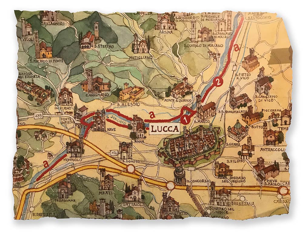
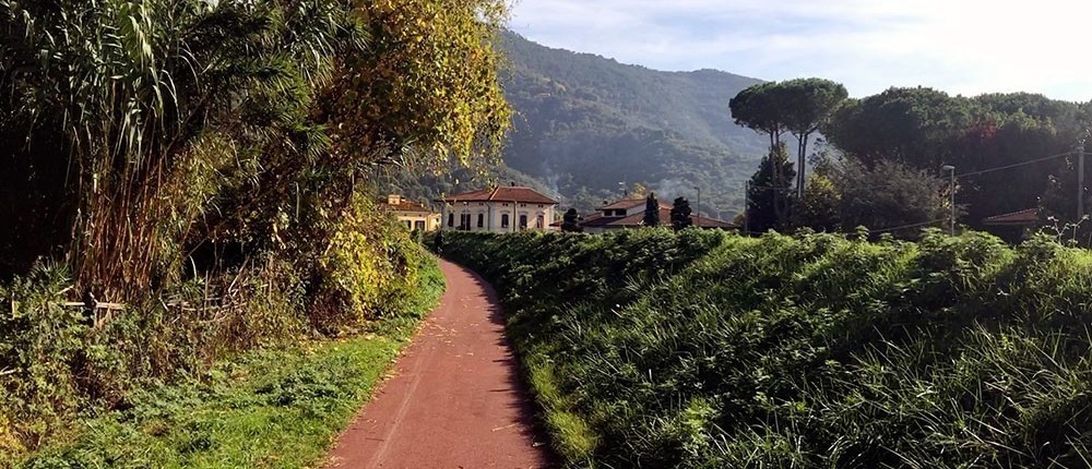
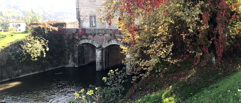
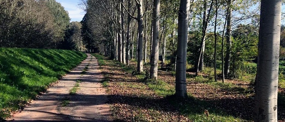
Water has always been a major influence on the development and identity of Lucca and the surroundings areas. These three easily accessible routes take you into the heart of the countryside along various waterways around the city and can be followed either on foot or by bicycle.
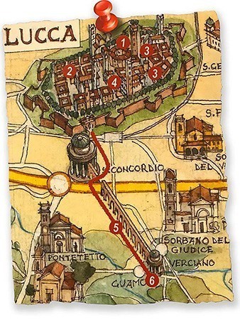
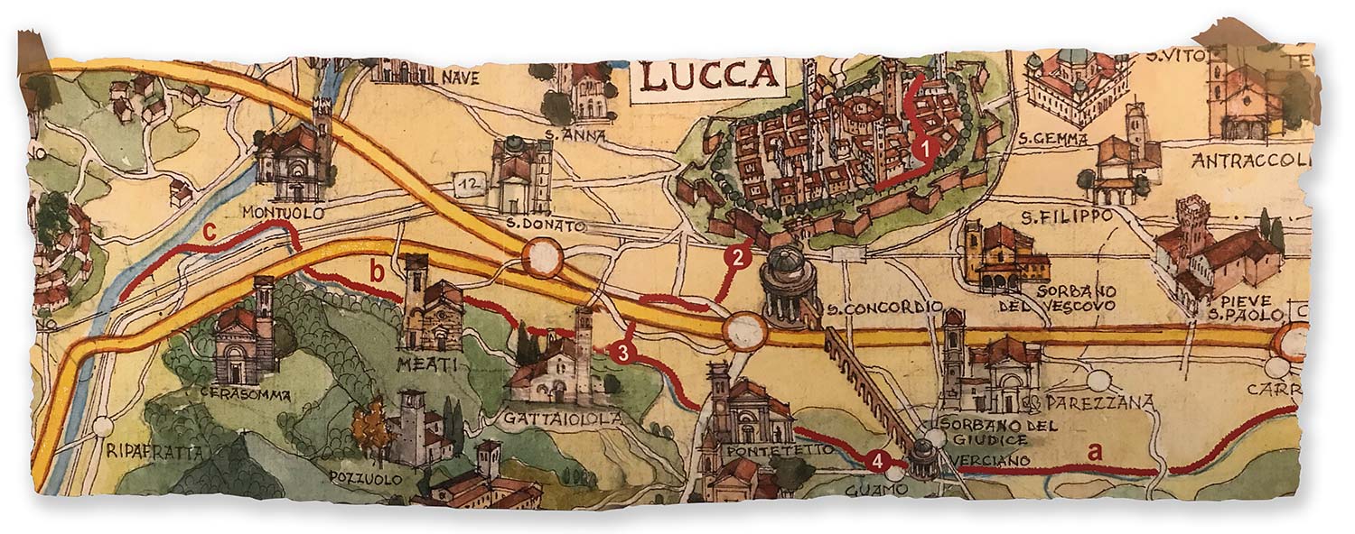
1. Monumental Fountains and the Nottolini Aqueduct
In 1822 at the request of Maria Luisa di Borbone, Duchess of Lucca, the royal architect Lorenzo Nottolini designed the aqueduct to supply the people of the city with “pure clear” water from the hills a few kilometers to the south.
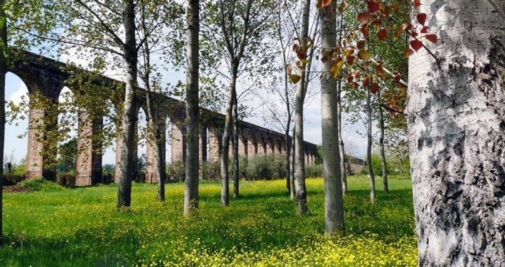
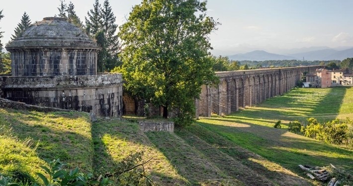
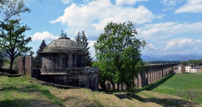
The itinerary, of interest from the point of view of both architecture and natural, starts from Lucca and winds its way trough streets and squares with monumental fountains, also by Nottolini and supplied by the aqueduct. Just outside the city walls, in the district of S. Concordio in Contrada, the route continues following the aqueduct with its 460 Romanesque brick arches and coming just over 3 km later to a small neoclassical temple, witch serves as the collection point from the springs around Guamo.
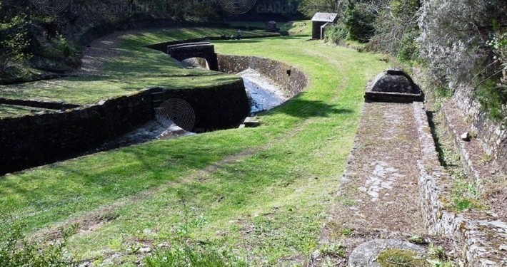
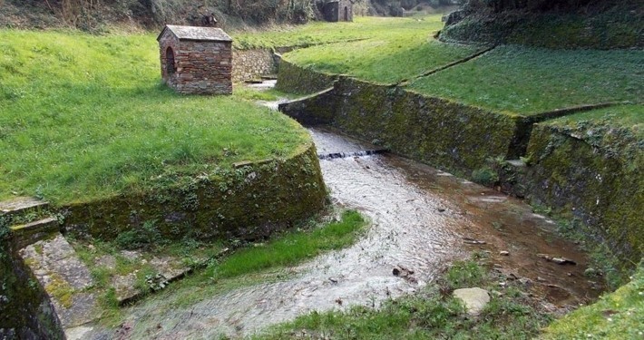
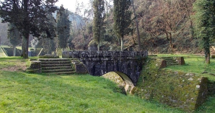
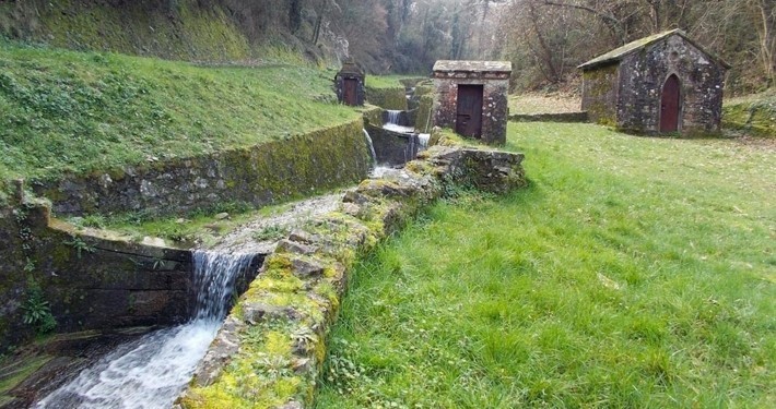
This completely pollution-free spot is known as the “golden words” because the peasants mistook lettering on the 19th century aqueduct on the slopes of the Vormo mountains for gold. It is where 18 springs of the purest quality are diverted towards the city to provide “Lucca’s water supply”.
photo credit http://www.giangrandi.eu
2. The Serchio River Park
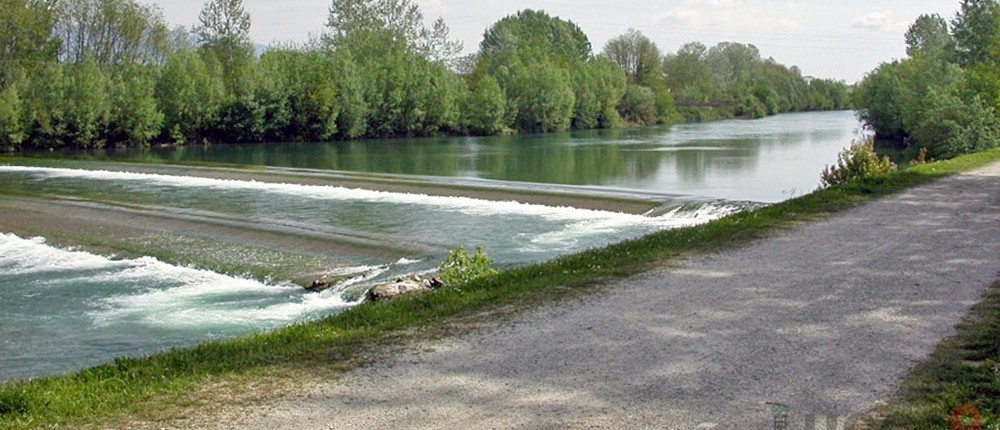
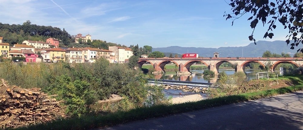
A countryside route that winds along the banks of the Serchio River, starting in the Monte S. Quirico district by the bridge of the same name and heading north towards Ponte a Moriano and south towards Ripafratta (Pisa) and down to the see.
The redevelopment of the whole area, for which Lucca received the “Sustainable Cities Awards 2000”, provided it with green spaces equipped for sport and recreation. Along the course of the river are areas dedicated to leisure activities, cycleways, horse riding, rafting, canoeing, as well as football pitches, a bowling alley, archery and a remote control car race track.
The banks of the River Serchio are also home to rare plant species, otherwise extinct and sign of a valuable natural environment. This important ecological corridor between the mountains and the coast, which has been given Protected Area status, is also of interest in terms of the wildlife to be seen there. The river is an ideal shelter, feeding and breeding ground for various species.
Finally, the rout joins part of the Puccini cycleway, dedicated to the famous composer from Lucca, which runs from Celle di Pescaglia (the Puccini family home) to Torre del Lago (the Maestro’s villa on Lake Massaiuccoli)
3. From the Condotto Pubblico water channel to the Piscilla canal and along the Ozzeri canal
The route starts from Lucca Historic City Centre, from the characteristic Via del Fosso alongside which the city section of the water channel flows. On the east side of the city, this channel follows the course of the moat, which in medieval time provided protection for the city walls. For centuries, this channel has been an important resources for Lucca’s typical manufacturing business, from the production and dyeing of textiles to the various engineering workshops and more recently paper manufacture, for which water is an essential requirement.
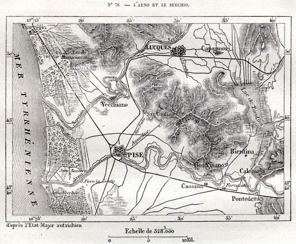
On leaving the city, the water from the channel (which runs under the street in the Corso Garibaldi) flows into the Piscilla Canal. This in turn flows further south into the Ozzeri Canal, a waterway of historical importance which follows a route form the slopes of the hills and mountains (Pisani Mountains) that divide the plain of Lucca from that of Pisa. The Ozzeri, which was navigable in former times, was the main canal in a network of waterways that, as well as channeling and collecting the abundance of alluvial water from the plain of Lucca, also connected the former Bientina Lake to the River Serchio to the west of the city.
Two delightful routes lead out from this confluence point ( of the Piscilla and Ozzeri canals): one goes eastwards, first towards Nottolini’s aqueduct and then trough the countryside to the town of Capannori, and the other goes west to the River Serchio. Both this scenic routes are of interest for their flora and fauna and in particular in order to understand the historical importance of the small villages they pass trough, which are an example of the subdivision of the land that occurred as far as the Roman era (the rural courtyard: house, outbuilding, garden and field).

